Cutting Edge Tech
Our team is certified to use the latest technology on your project.


This new and exciting platform provides our surveyors a way to safely, accurately and reliably capture data with the latest remote sensors.

MEGA provides a complete range of services, beginning with a detailed site planning and comprehensive infrastructure design

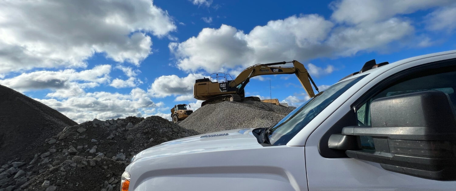
Our survey staff utilizes advanced technology such as Global Positioning Systems (GPS), electronic data collectors and our UAV’s (aka Drones).

MEGA’s federal expertise includes VA Campus’s, Federal and GSA Properties.

MEGA conducts Seismic Surveying (both 2D and 3D surveys) ranging from 1 mile to 1,000 miles and 1 square to 20 squares respectively.

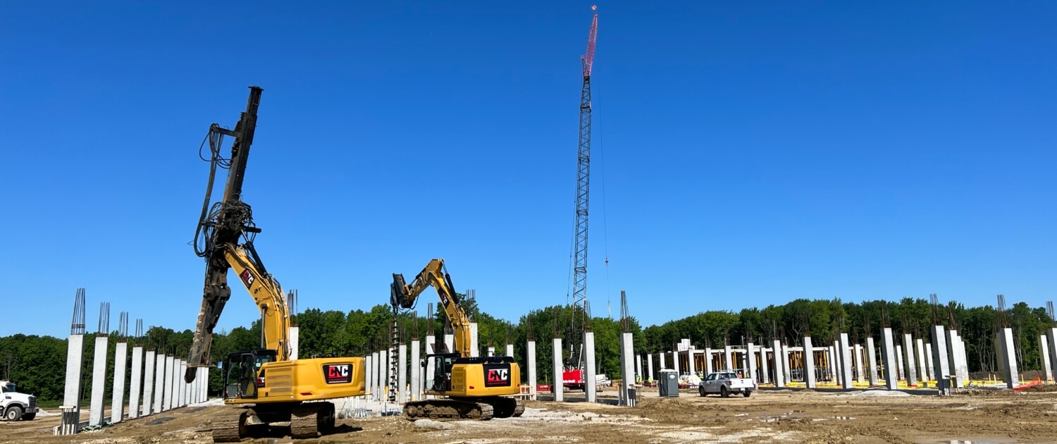
MEGA provides all phases of geotechnical services to help determine how the characteristics of the soil conditions on the site will react under the stress caused by the weight of the structure.
Our team is certified to use the latest technology on your project.
Over 140 years combined experience – we get it done correctly the first time!
We work with you to develop competitive, cost effective rates for your project.